
Setting Out
Setting out coordinated data using total stations or GNSS receivers to postion markers.

Boundary Setting Out
We typically set out timber stakes at boundary corner points and can also mark set intervals along the boundary if required.
Points are positioned using a GNSS receiver where possible, with a total station used when higher accuracy is needed or where satellite coverage is limited, such as in wooded areas.

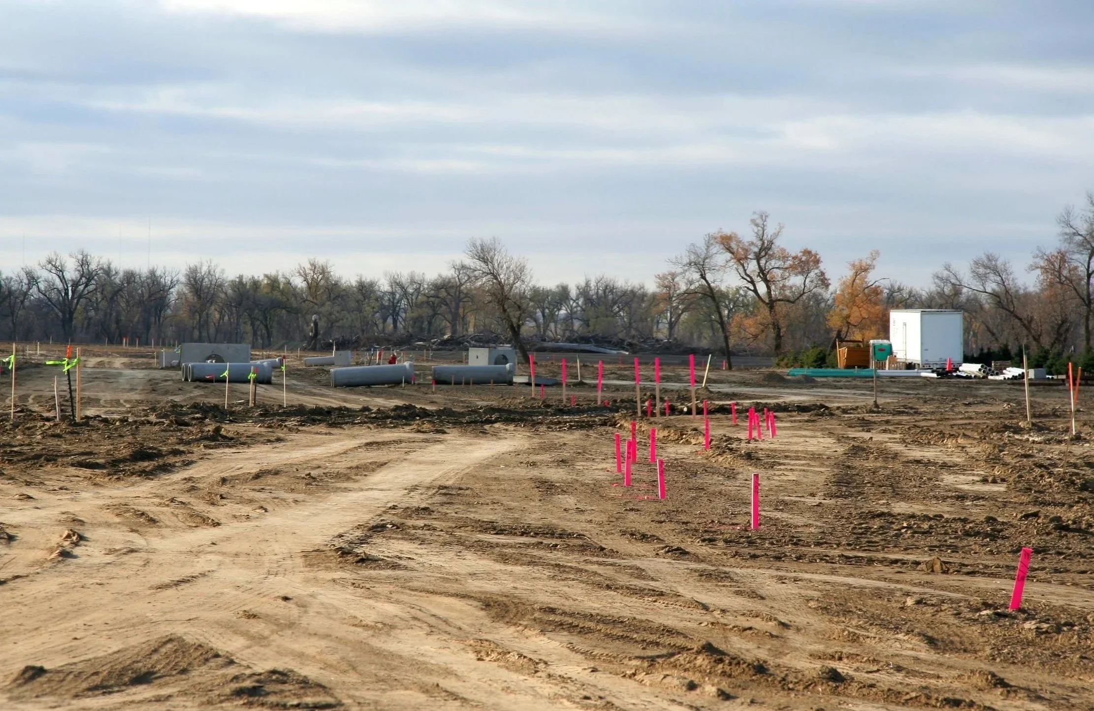
Construction setting out
We are typically provided with a coordinated design or plan from an architect or engineer.
Using a total station, we accurately set out the required points on site to ensure a high level of precision.
Points are usually marked with timber stakes or metal pins.

Unsure which service is right for you?
Get in touch and tell us about your project — we’ll offer clear, professional advice to help you move forward with confidence.