

Topographical Survey
A topographical survey is a detailed, scaled map showing the land and its visible physical features.

Site Work
Ustilising the latest total stations and GPS (GNSS) receivers, we record all visible site features to create a highly accurate digital representation of the land.
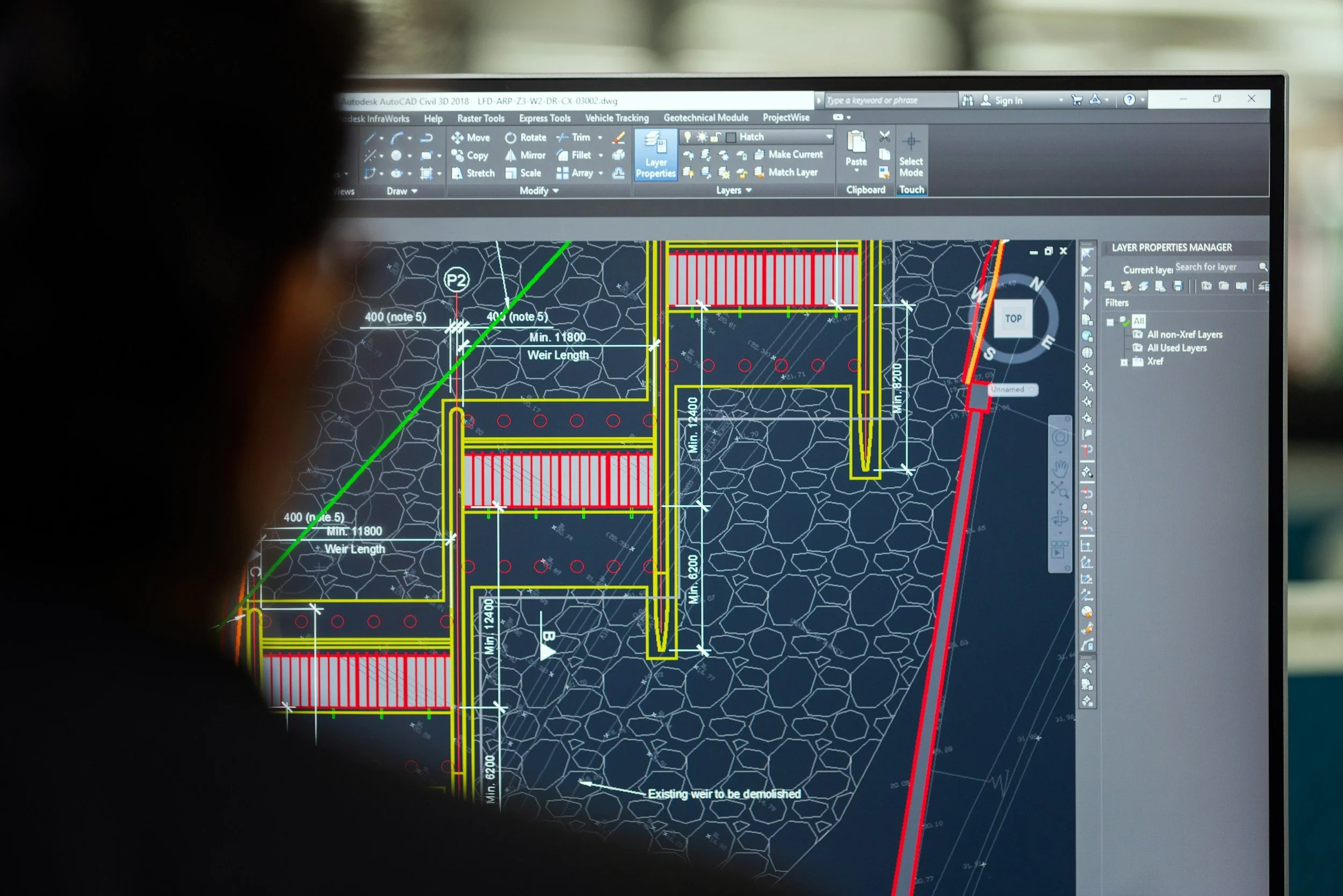
Post Processing
3D CAD software allows us to create an accurate representation of the site and its features.
We pride ourselves on producing easy-to-use plans that suit the requirements of every project.
Final Product
All topographical surveys are supplied as 2D AutoCAD (.dwg) files and PDFs.
Additionally, we can include 3D data layers.
Printed, scaled drawings are available on request.
-

Agricultural & Rural
Whether it’s fields, forests, or farmyards, we can provide the topographical survey for your large-scale needs.
-

Industrial
Research facilities, depots or the office car park, accurate mapping for all industrial settings.
-

Residential
We conduct topographical surveys for any size property, to obtain all external information required.